Each fold holds a journey, each map prepares the voyage.
Folding geographical maps
Technical precision
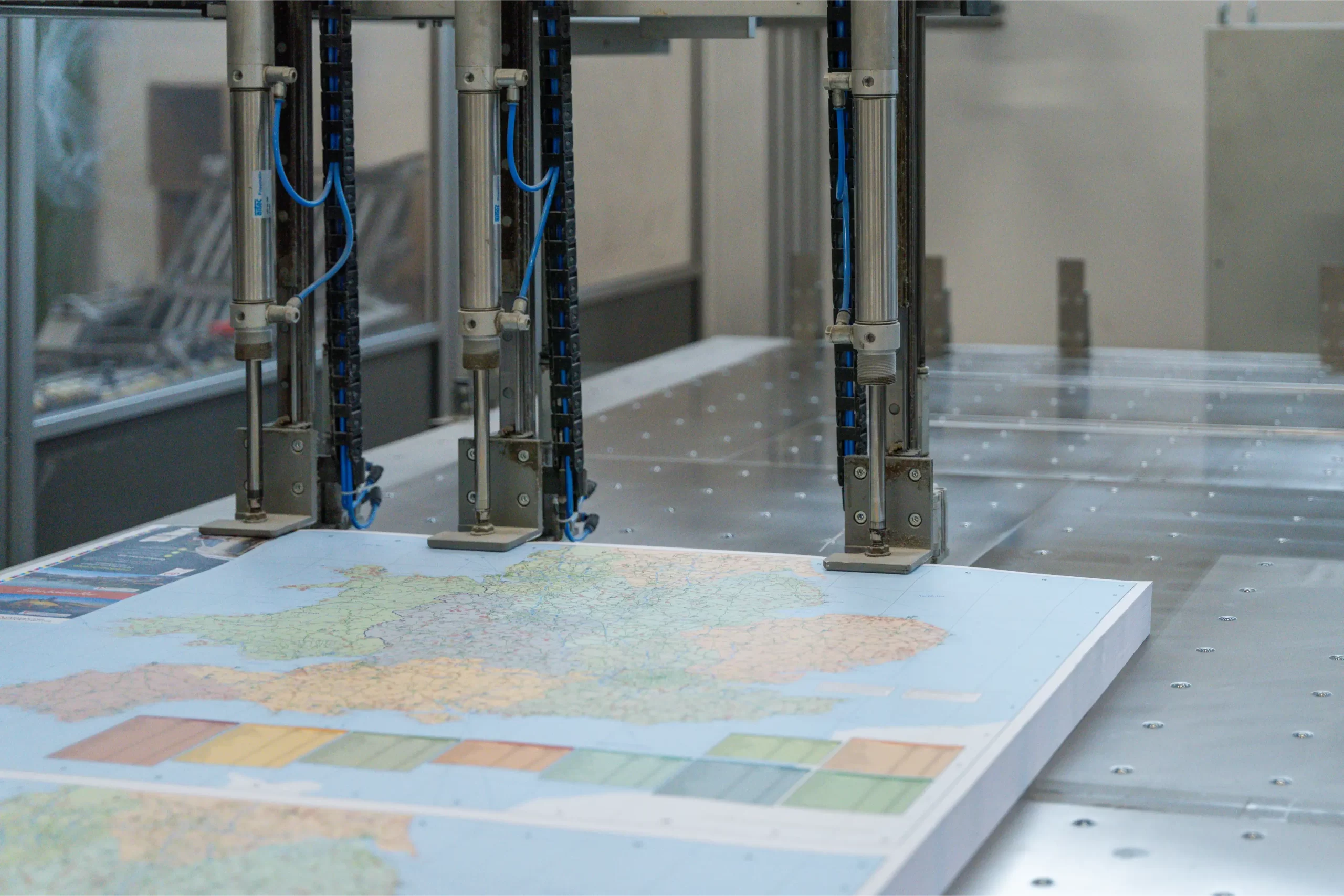
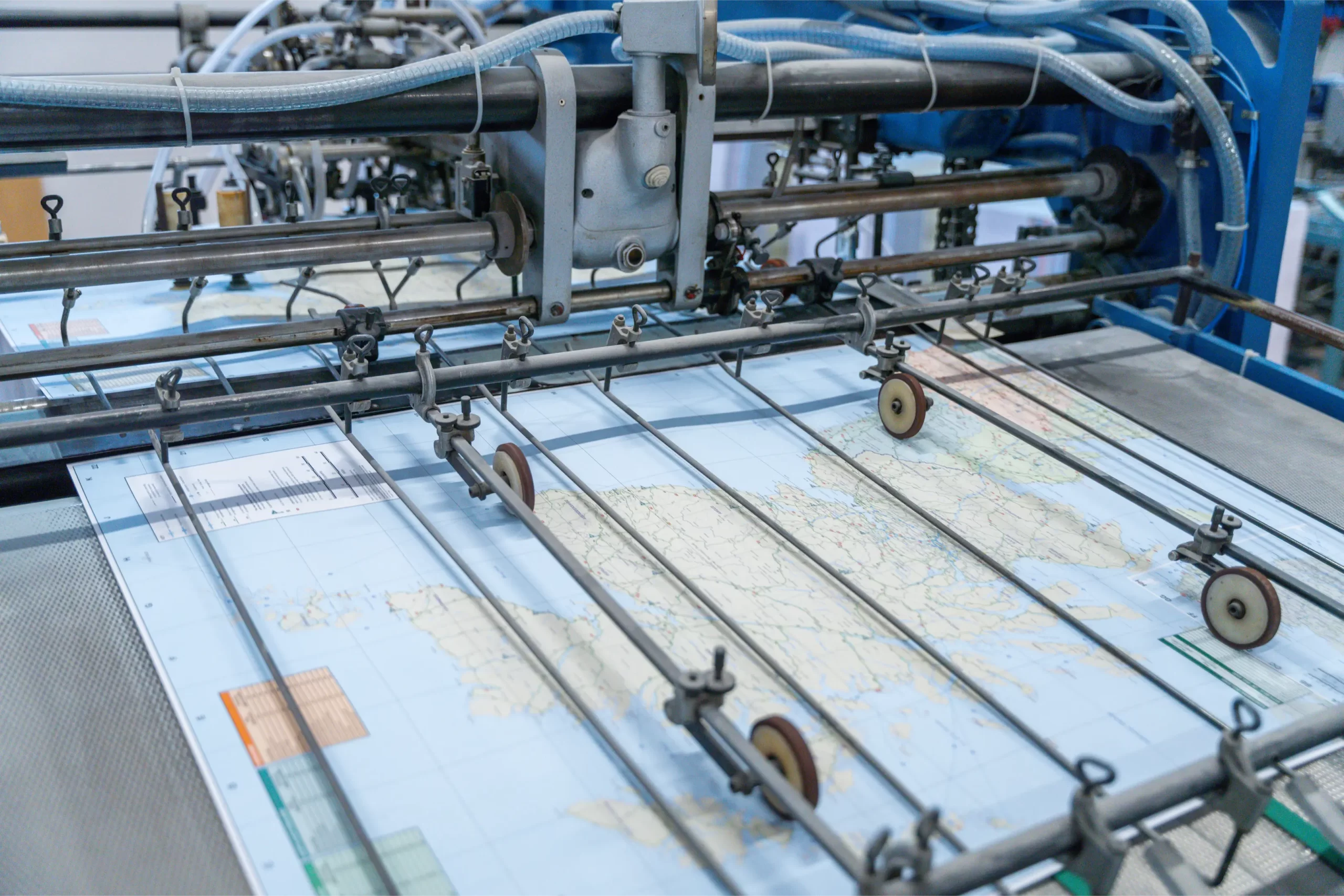
Folding a geographical map is not an automatic gesture; it is transforming the vastness of the territory into an orderly and manageable format that retains its visual structure. Each of our processes is designed to protect the lines, colors, reliefs, and graphic micro-details that compose the map. The folds are technical, calibrated with millimetric precision, and designed to avoid stress on the surface, preventing deformations that could compromise readability.
The machinery and specialized personnel allow dedicated adjustments on large formats and different materials, from coated papers to matte, laminated, or treated versions for durability. Each phase is designed to guide the paper without ever forcing it.
Controlled reliability
Each fold is defined based on the grain, breaking point, and the number of expected refolds, to prevent progressive wear and maintain structural stability even after many uses. Customized configurations, such as accordion, cross, window folds, or combined solutions, allow the map to be adapted to its context of use while preserving the cartography with technical care.
The result is a map that opens smoothly and closes naturally, maintaining its original elegance and remaining ready to accompany explorers, both visually and physically.
Each service can be completed with customized setup and finishing.
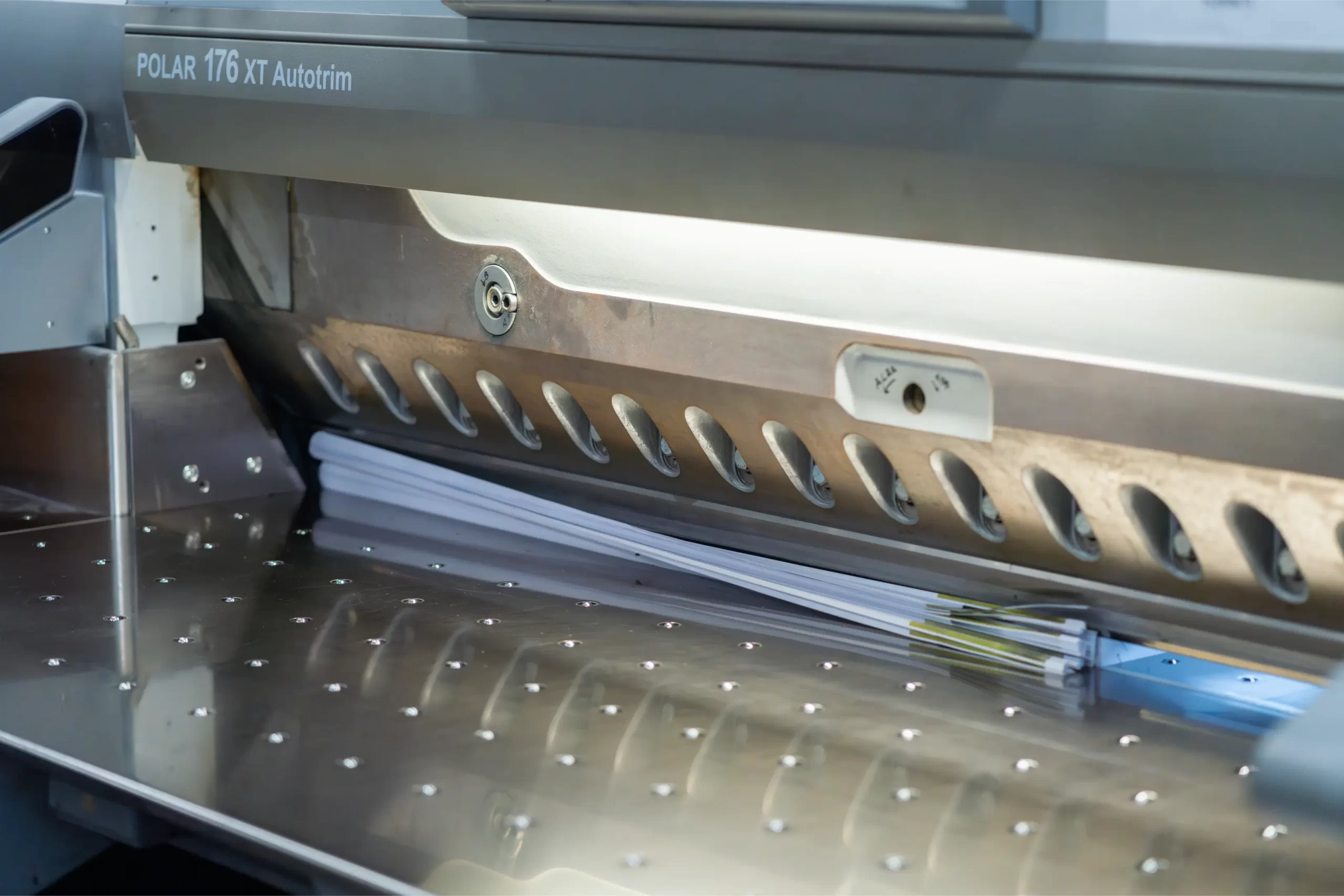
Department equipment
Our department dedicated to folding geographical maps is equipped with: 1 Polar 176 automated cutting system and 4 Herzog + Heymann automatic folding machines, designed to work formats up to 120x162cm and different supports with continuity and constant precision.
What are the advantages?
Folding geographical maps allows large formats to be transformed into practical tools, maintaining cartographic readability intact. The folds, calibrated to the millimeter, preserve lines, colors, and technical details without creating tensions or deformations. Each setting is customizable and adapts to different supports, making the map more functional, more orderly, and easier to consult in the field or at the desk.